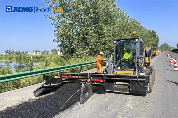
How to Control Asphalt Milling Depth to the Millimeter
As in performing earthwork to grade, accuracy is the goal.
Efficiencies, speed, and cost savings follow. Traditional milling, using
stringlines and markings, has its limitations.
The operator needs to work to the design for the new surface, removing
the right depths in the right places. Traditionally, this is done by following
sprayed marks manually laid out by a surveyor. This prework is time-consuming
and subject to error. To be carried out safely, the road needs to be closed and
often the surveyor needs to work at night to minimize disruption.
Once the design has been marked, it can be difficult for operators to
see—it gets hidden by other machinery onsite or might be difficult to read from
their machine. Any inaccuracies lead to the machine operator either taking too
much asphalt away, which subsequently means the area will need to be overfilled
and the project will be more expensive than it should be, or not taking enough
asphalt and the new surface layers being of poorer quality. Another risk, when
milling deeper than required, is damaging the structural subbase layers.
Fortunately, 3D machine control systems for milling machines are widely
applied nowadays. Using positioning data from a GNSS receiver on the machine,
the milling pilot calculates the difference between the existing and the design
surface as the cold planer moves over the area that is being milled.
Managers can then progress to the more accurate and faster 3D machine
control solution. 3D systems can reproduce road grades and slopes far more
accurately, making it easier to achieve complex designs, ultimately improving
the smoothness of the final pavement.
The surveyor or the machine operator uploads the digital design file
for the road into machine control software. The software compares the design
model to the actual position of the machine’s cutting edge and assists the
operator to position the machine to achieve the planned design. An active total
station tracks the position of the cold planer in 3D, and the software on the
machine verifies the elevation and slope against the design. The depth of
asphalt to cut is sent to the machine controller. It is shown on the operator’s
tablet interface that they have in the cab and controls the hydraulic response
on the machine. This eliminates the need for a surveyor to make any marks or
stringlines on site, or for the operator to follow man-made markers and control
the adjustments.
The source of the as-built model could be from measurements taken using
a total station, a 3D laser scanner, or a mobile mapping solution. A quick way
to create the as-built model is to fit a mobile mapping solution to a vehicle
and drive it along the road that needs to be resurfaced. Alternatively, a
ground penetrating radar solution can be used, which provides data about the
different layers with the most important information for the proper execution
of the project, such as depth and thickness of reinforcement cover, concrete
slab, and asphalt, detection of areas affected by corrosion, and detection of
rebars.
Find machinery with latest technologies at Machmall.com